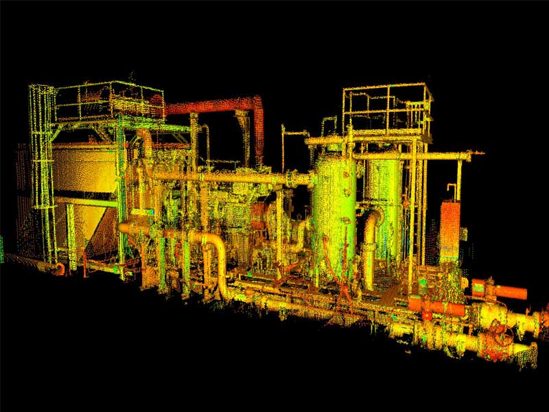
Laser Grammetry is a precise laser data collection method used to document large objects and scenes. A flexible automated laser system is used to collect spatial data, generating a dense point cloud with millimeter relative accuracy. The data collected is a series of data points that represent the location of material struck by the laser beam and the collected data can be transferred to GIS, CAD, and 3D modeling applications, making it a valuable alternative to standard survey and measurement. This technology is experienced in a wide range of 3D scanning services in oil and gas applications to produce reliable, high quality data.
We provide a full range of industrial measurement and dimensional control services for oil, gas, petro-chemical and other industrial clients to meet all their survey requirements. We utilize the latest in high definition scanning technology, and a unique workflow to assist our clients worldwide in planning and executing projects more efficiently. We use the latest technology, including 3D laser scanning and heavy lift CAD visualizations to provide you with reliable, high quality data compatible with a wide range of software suites, allowing clients to improve project planning and to achieve large savings through the avoidance of re-work and clash.
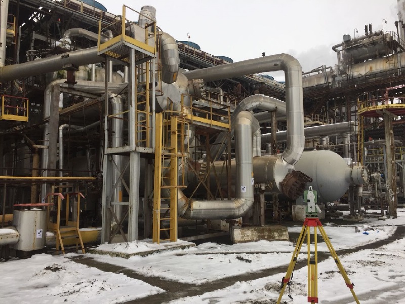
Whether a project involves surveying hundreds of miles of pipelines, identifying optimum oil well locations, or assisting in the recovery of a city after a natural disaster, our survey team is more than prepared to tackle any challenge. Integrating our newly refined data communications network, high quality instruments, and professional staff, our land survey services can be an efficient solution to every project. If you need a professional land surveyor, then look no further.
We specialize in construction layouts, topographical surveys, boundaries, subdivision design, title and boundary surveys, pipelines, gas and oil well locations, unit surveys, digitizing, map reproduction and preparation along with providing dedicated mapping services.
3D models are the foundation of a successful project. The benefits and uses are endless. Industrial3D can help you with product development and marketing, saving you time and cost down the line. In the oil and gas industry, as facilities age and the needs of a company change, there’s always need to make changes and updates to make sure the facilities still meet those needs. Having a 3D model of a current facility can provide a number of benefits that will help project run smoother.
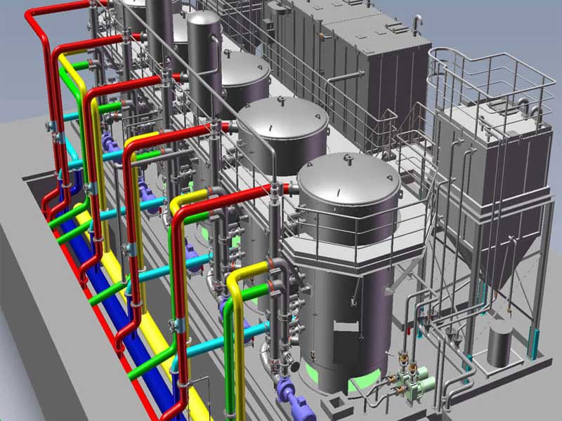
With our three dimensional modeling services, you can quite easily carry out the needed analysis of engineering or visualization and this paves way for a more efficient development process. Drafters with us can craft 3D geometry for different objects by making optimal use of sophisticated software programs. Accuracy and perfection are confirmed when you rely on us for 3D modeling; we do everything needed to guarantee you complete satisfaction. We are adept in creating realistic and precise three dimensional models. With our skills, we can come up with exceptionally lifelike and completely detailed views from multiple angles.
© 2018 TESTRONIX. All Rights Reserved | Developed By MTL